Visual Documentation
Clear, Accurate Visual Documentation for Real-World Projects
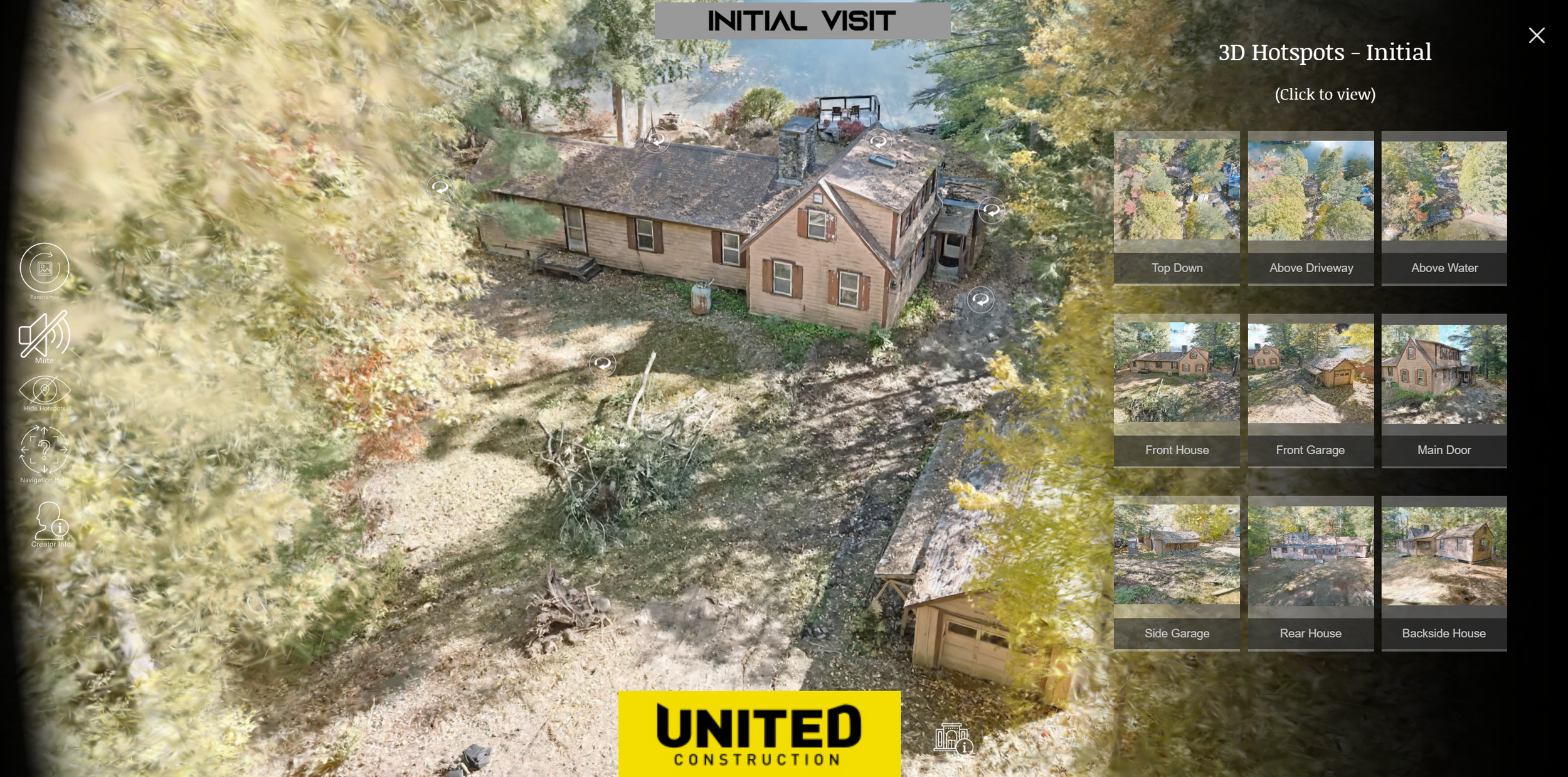
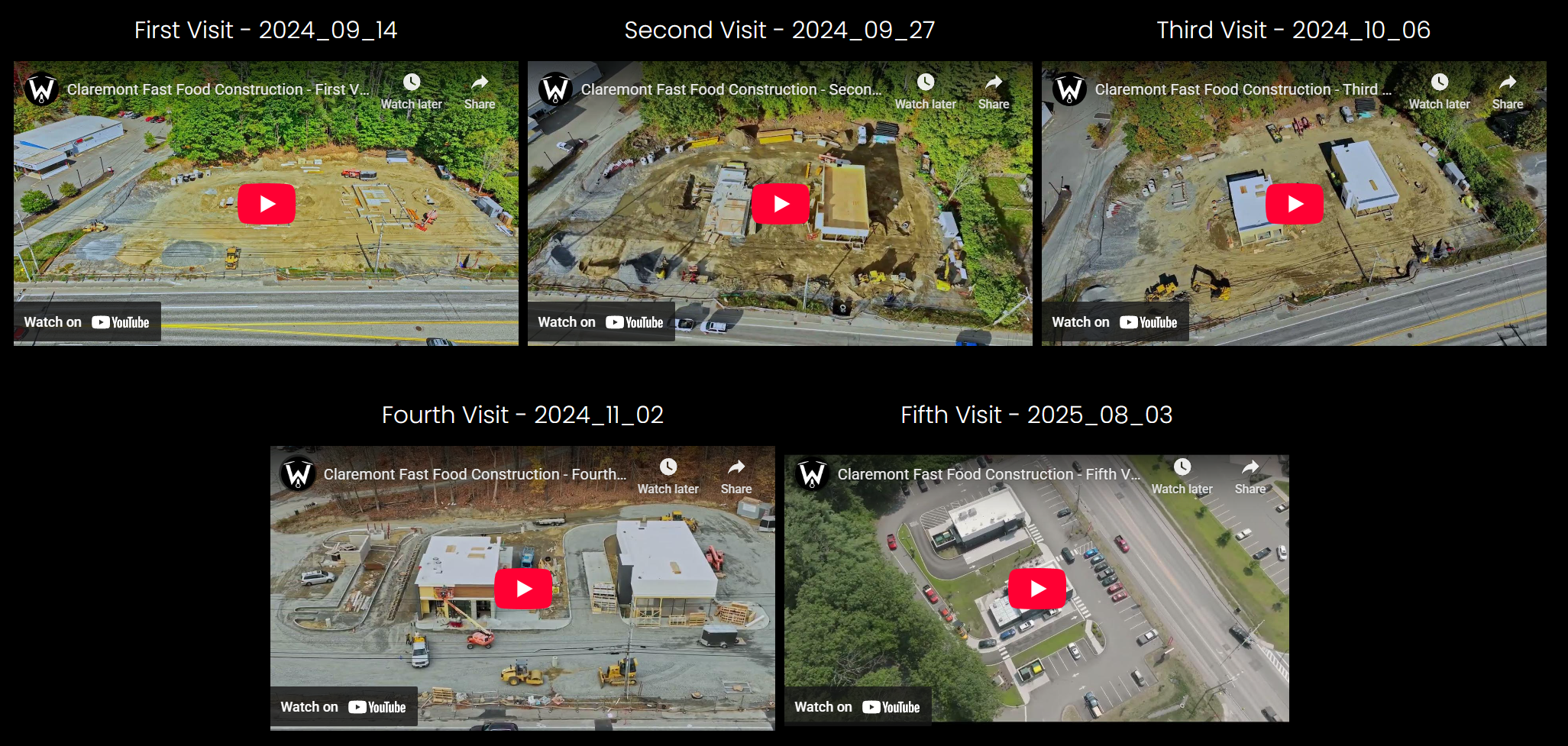
Our documentation services turn active sites and environments into accurate visual and spatial records that teams can rely on for planning, progress tracking, and long-term reference.
From early development through completion—and even longer after—these deliverables help replace assumptions with clarity.
Traditional photos and manual notes often miss context.
Our approach captures what exists, when it existed, and how it changed over time.
Explore some real projects below!
(Click to visit project page)

Built for projects where accuracy matters
Frequent visual documentation is especially valuable for:
Construction projects and active job sites
Utilities and infrastructure assets
Municipal and public-sector projects
Environmental monitoring and land management
Development sites and large properties
If your work depends on clear records, reliable visuals, and defensible documentation, this service is for you.
More than just maps or photos
Accurate documentation helps you:
Track progress visually over time
Reduce risk and uncertainty
Support decision-making with real data
Create clear records for stakeholders, reporting, or disputes
Compare conditions before, during, and after work
These records become a single source of truth—not just snapshots
How These Deliverables Are Used
Clients use this documentation to:
Monitor construction and development progress
Capture before-and-after conditions
Support environmental assessments and reporting
Share updates with stakeholders or the public
Maintain long-term records of sites and assets
Each project is scoped around how you plan to use the data, not just how it’s captured.