Drone Mapping/Photogrammetry/GIS work
Drone mapping-based project planned, captured, and maintained for a project in NH.
Here is a quick video showing the benefits of multi-time drone progression mapping
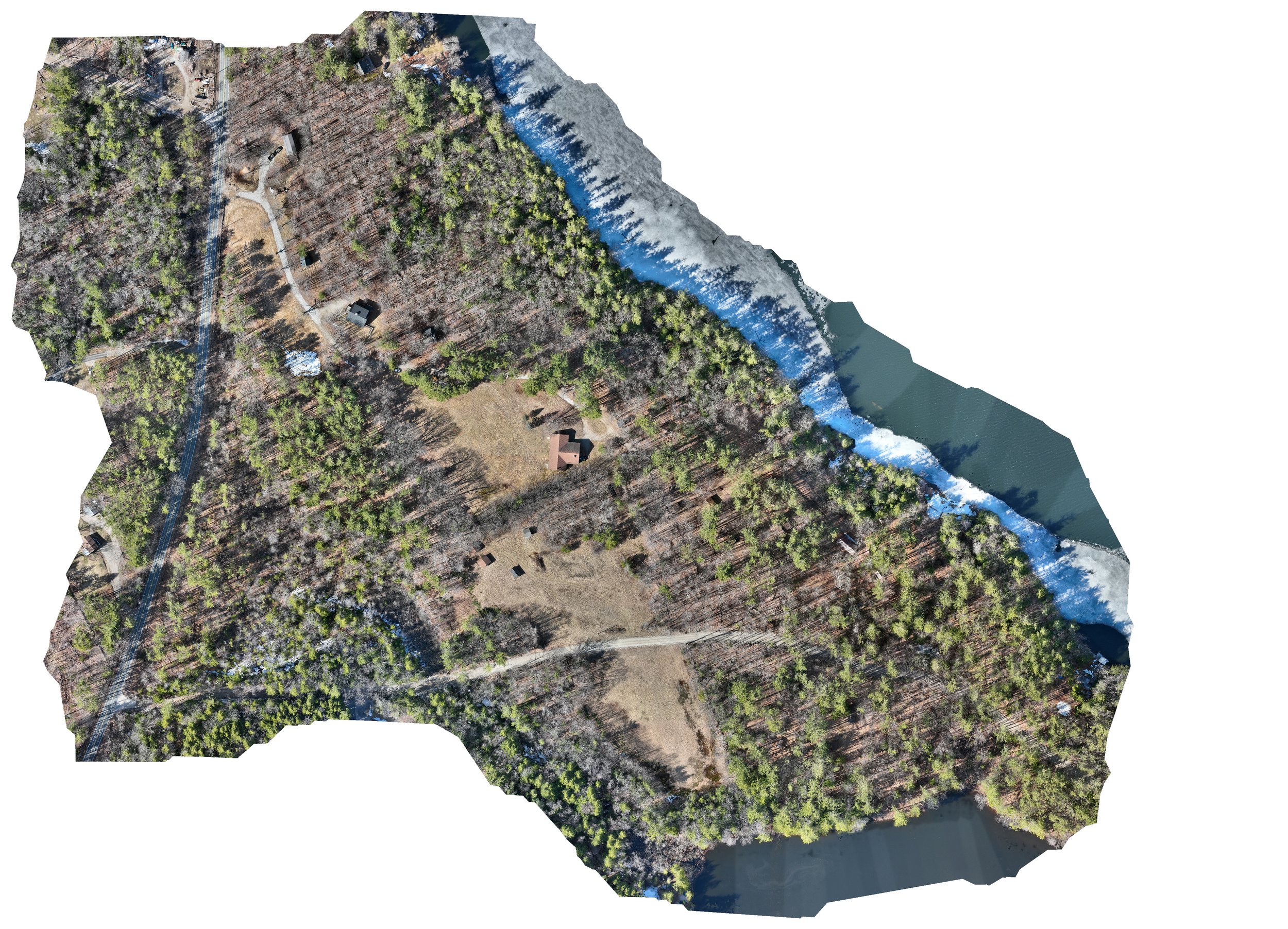
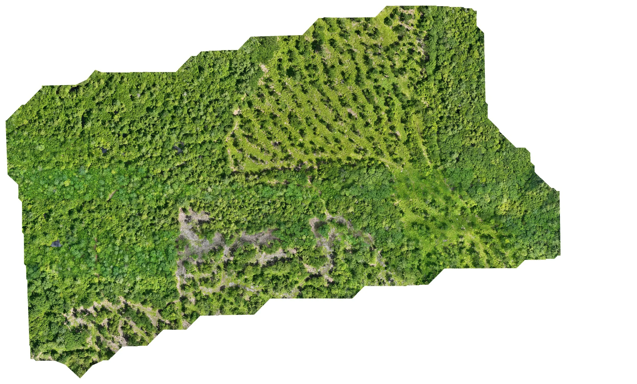
Non-Profit Property Documentation
Birdi.io software link to this project:
https://cloud.birdi.io/map/next/80dcbfd9-34b2-4915-82f8-c65853647274?token=06e5ac31-47fc-4a8a-a54b-670d49bc29c4


More projects below!
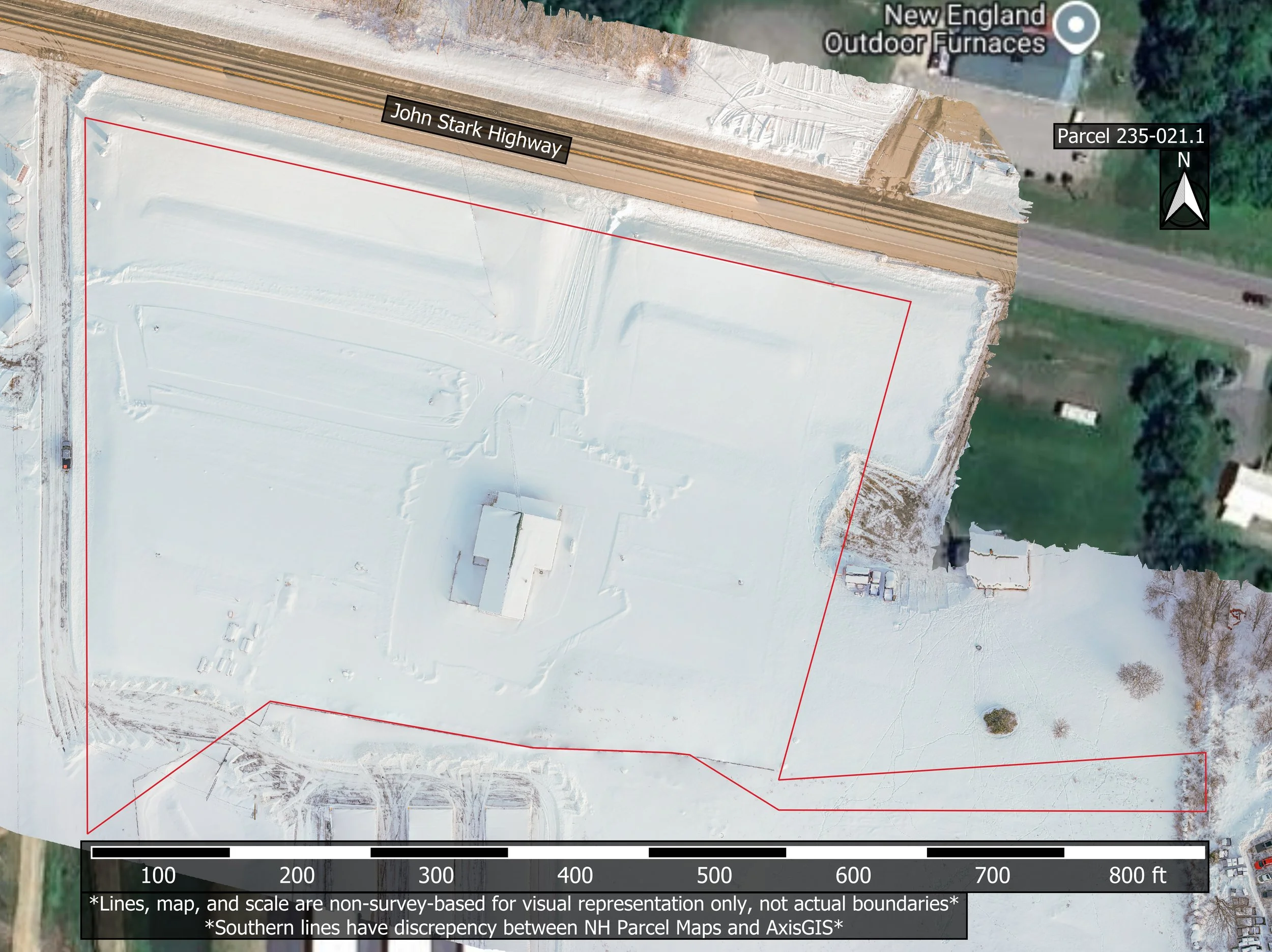
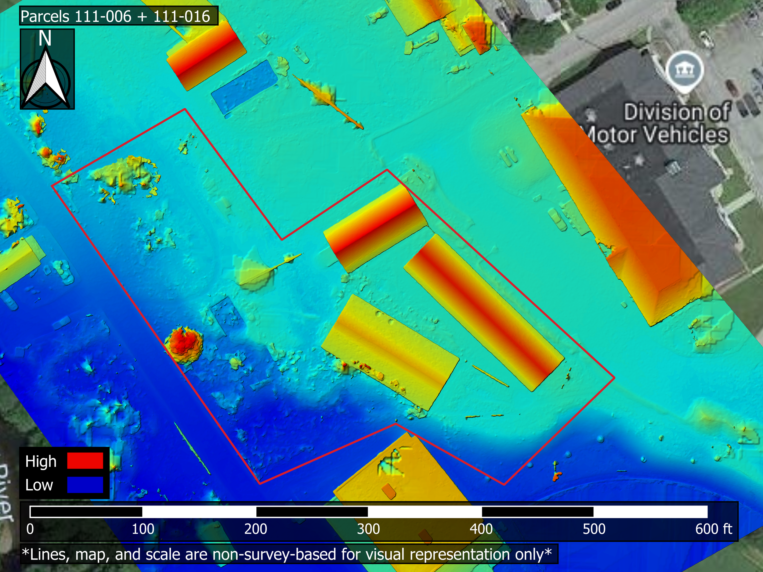
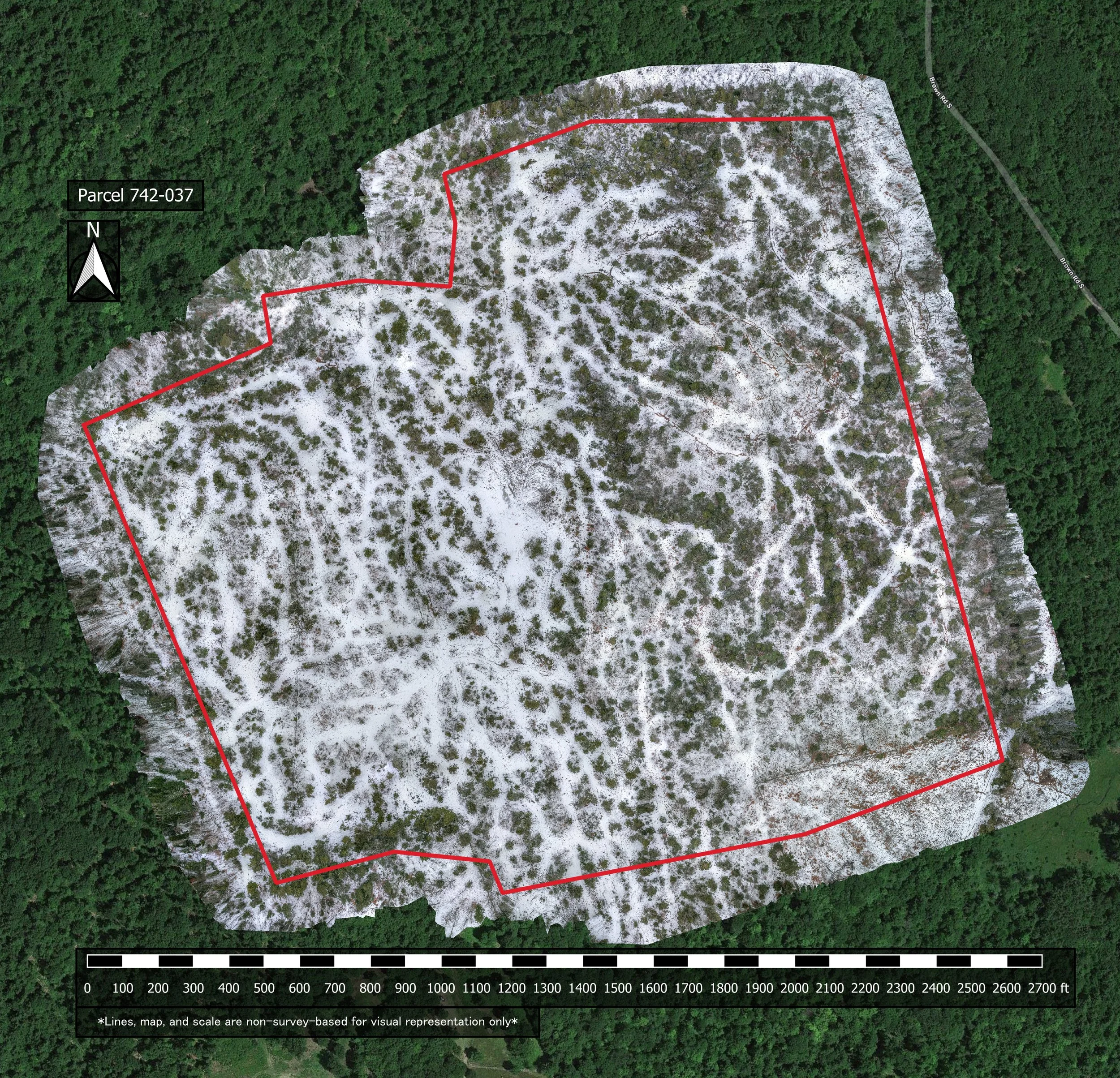
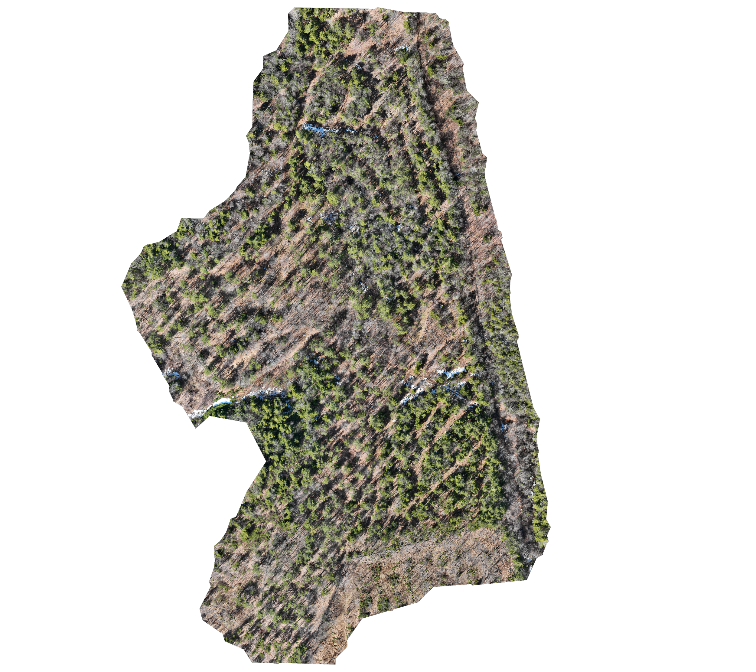
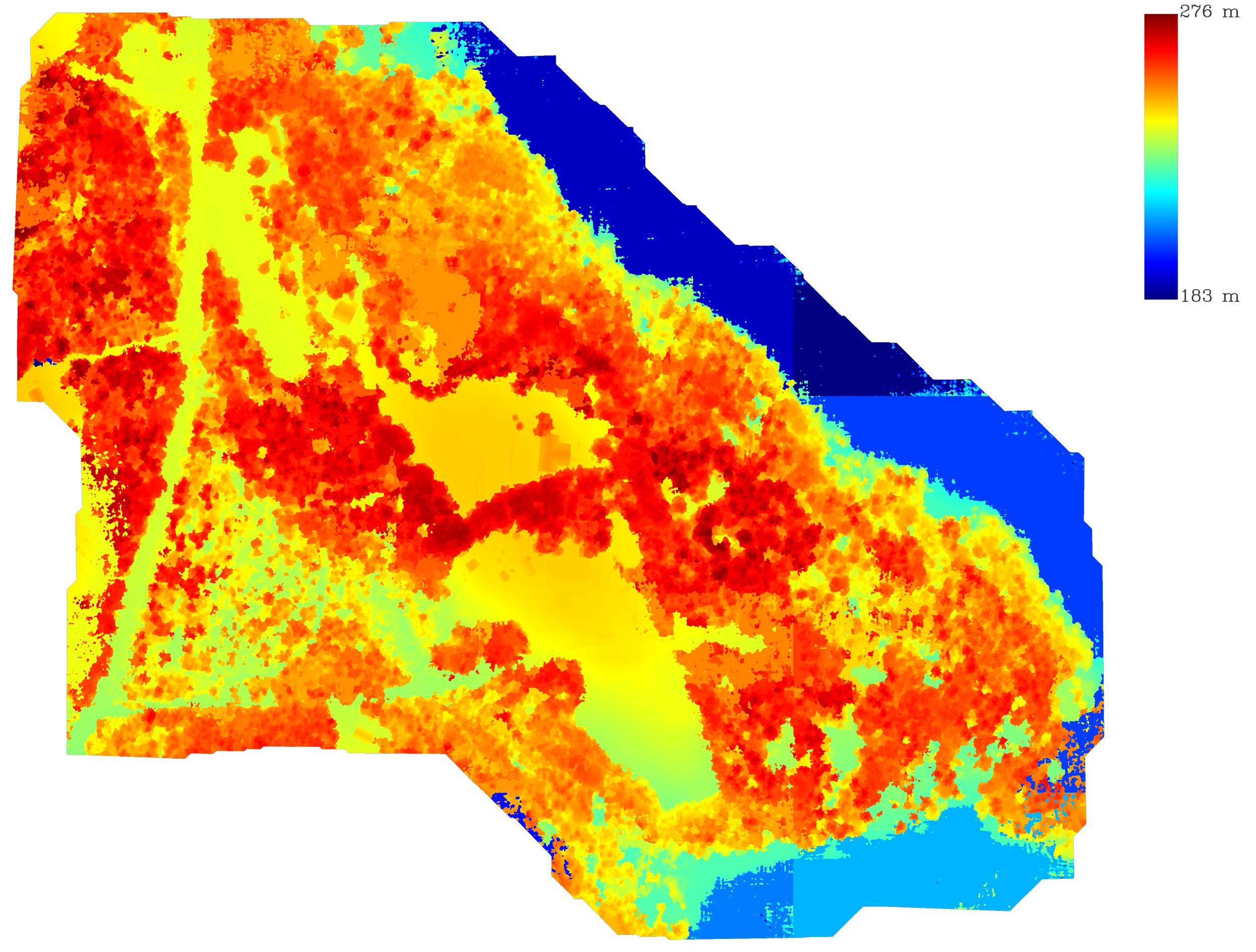
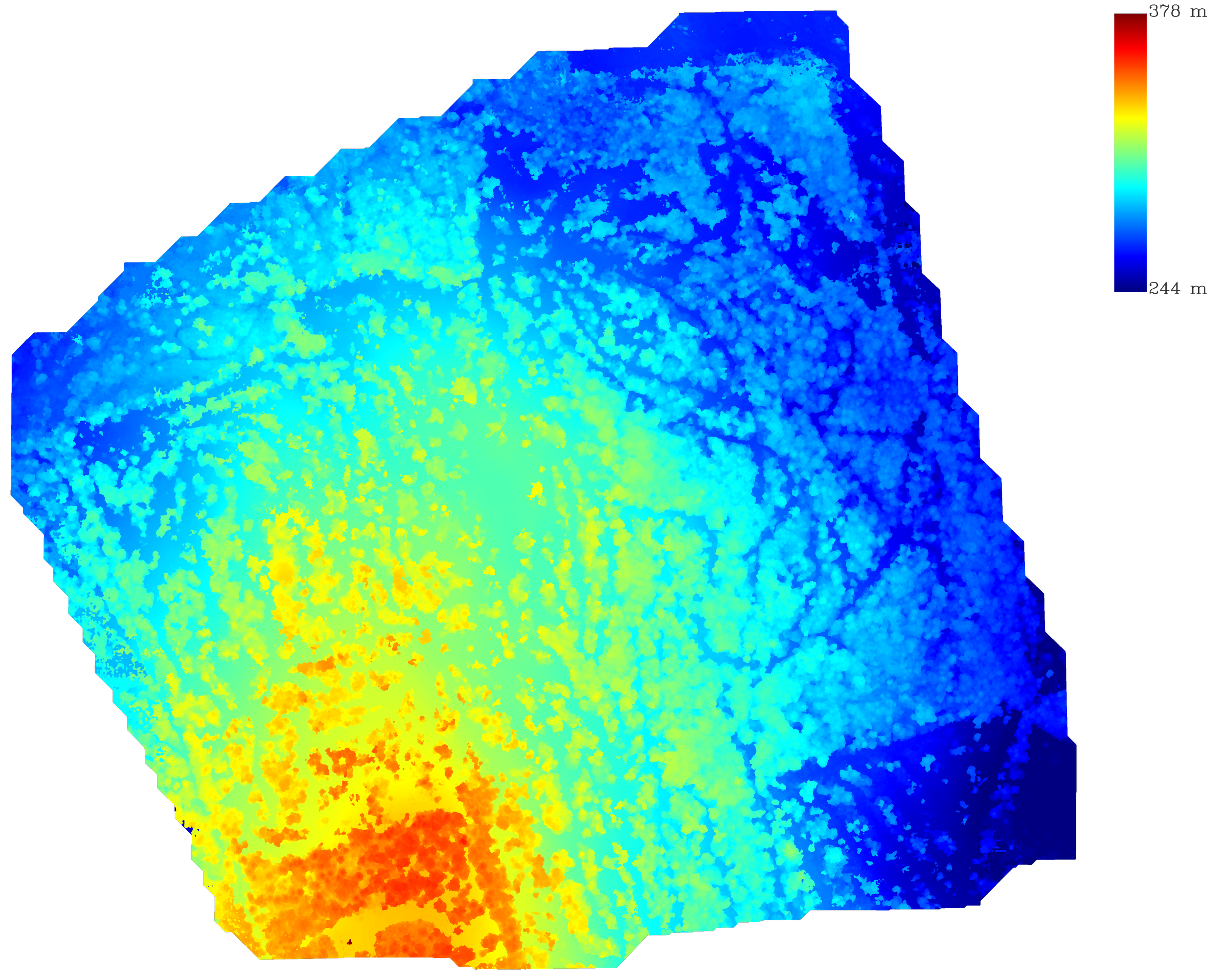
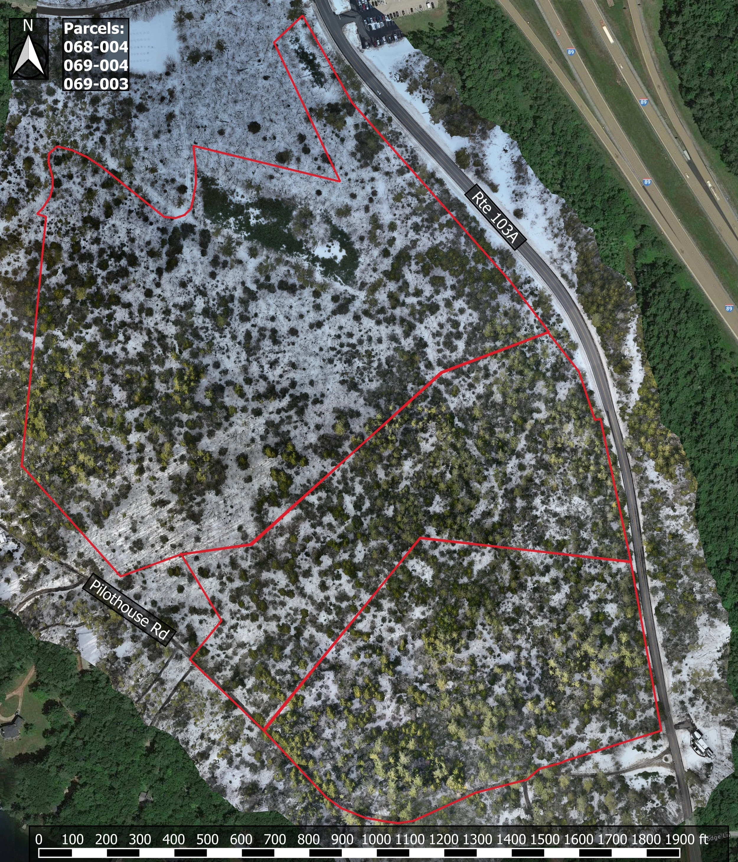
Town Permit Planning
Not actual measurements, non-survey visual representation only

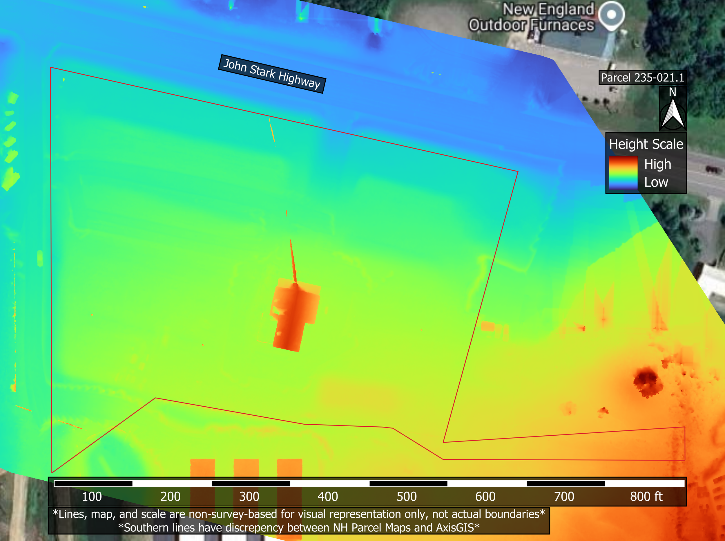
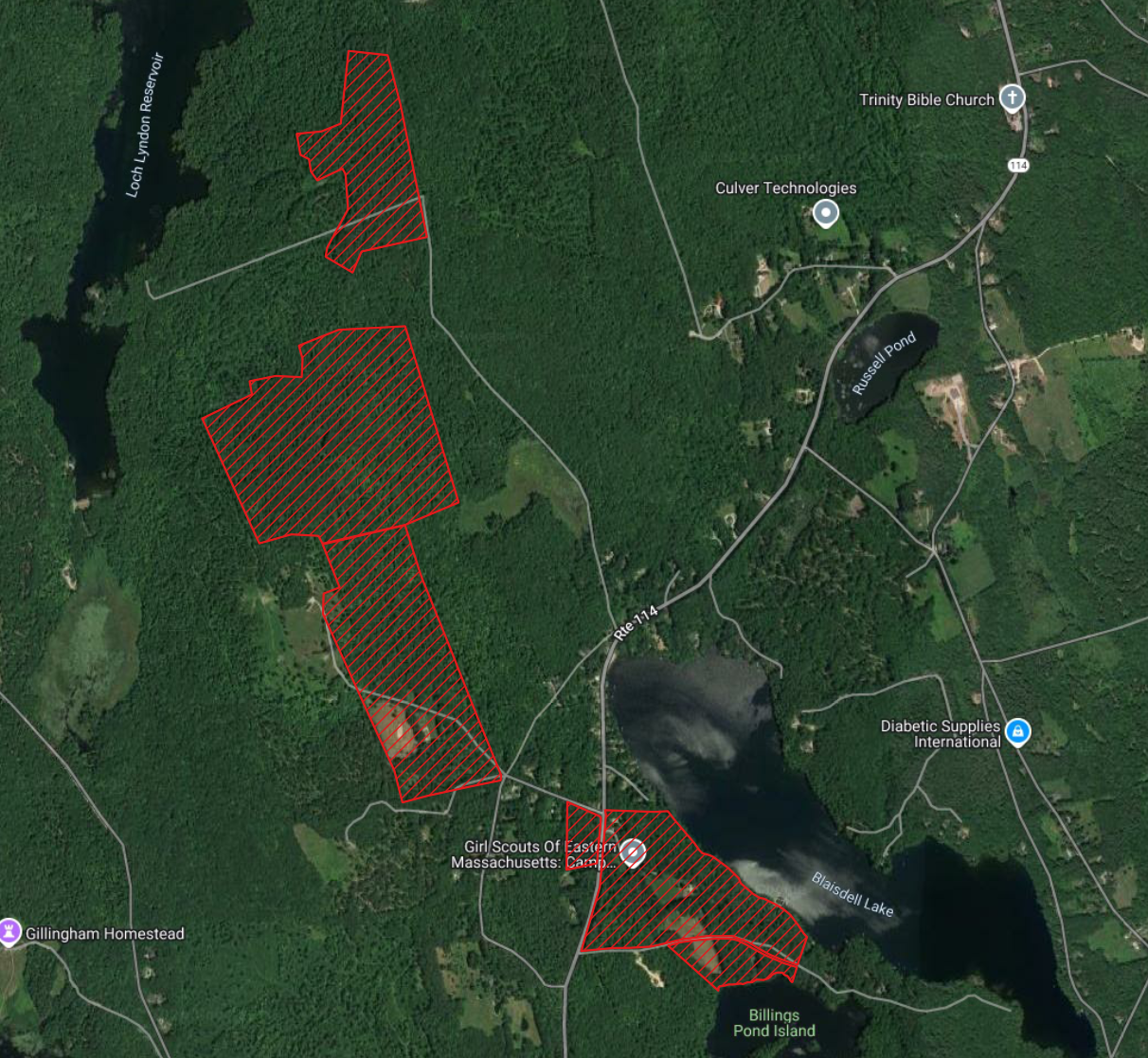
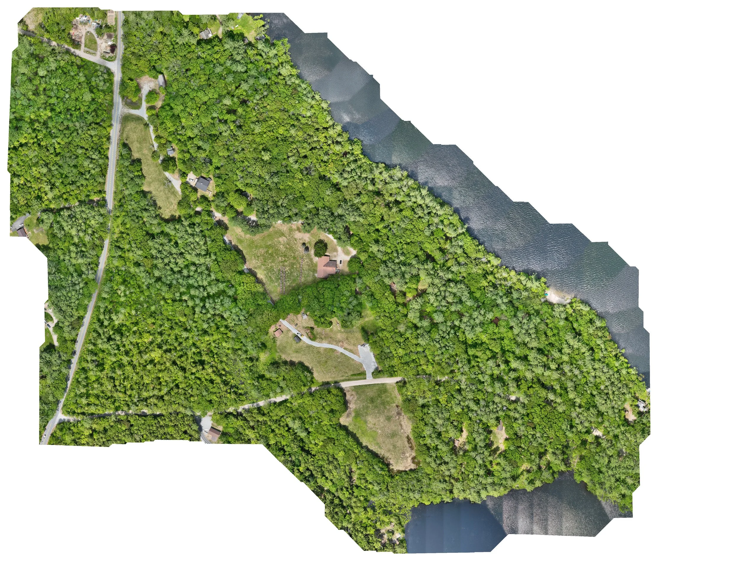
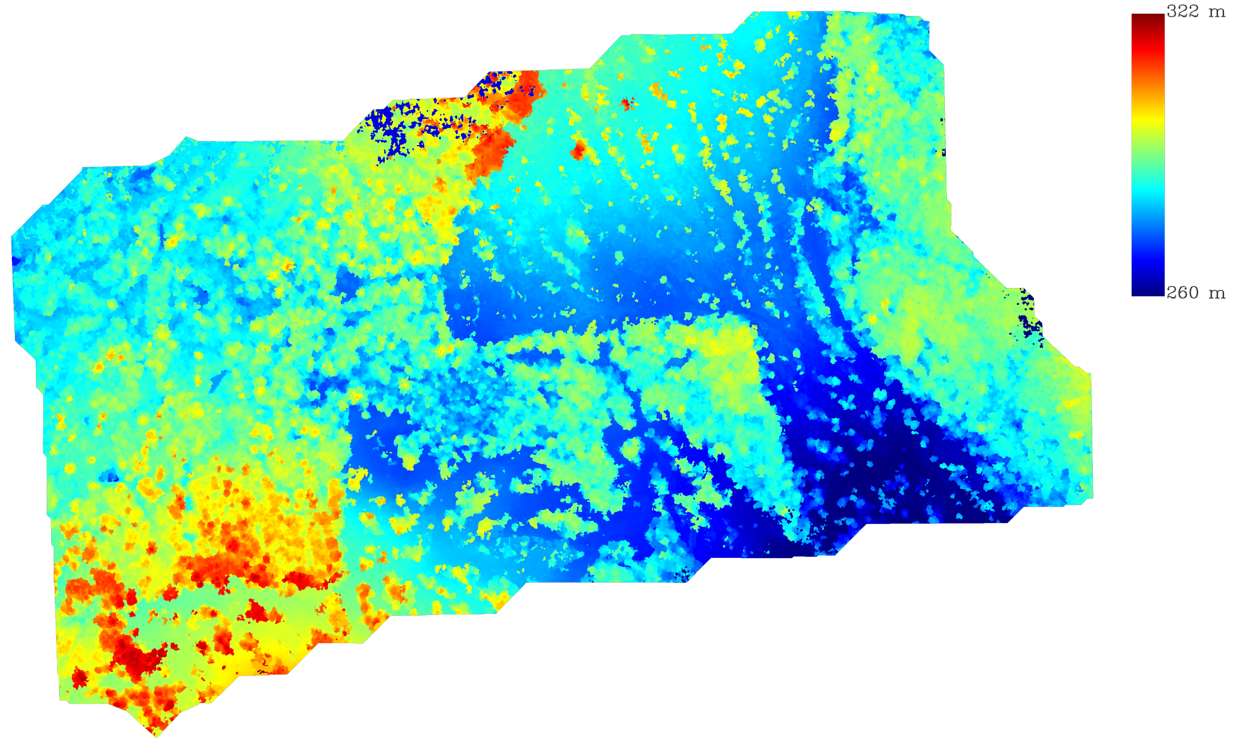
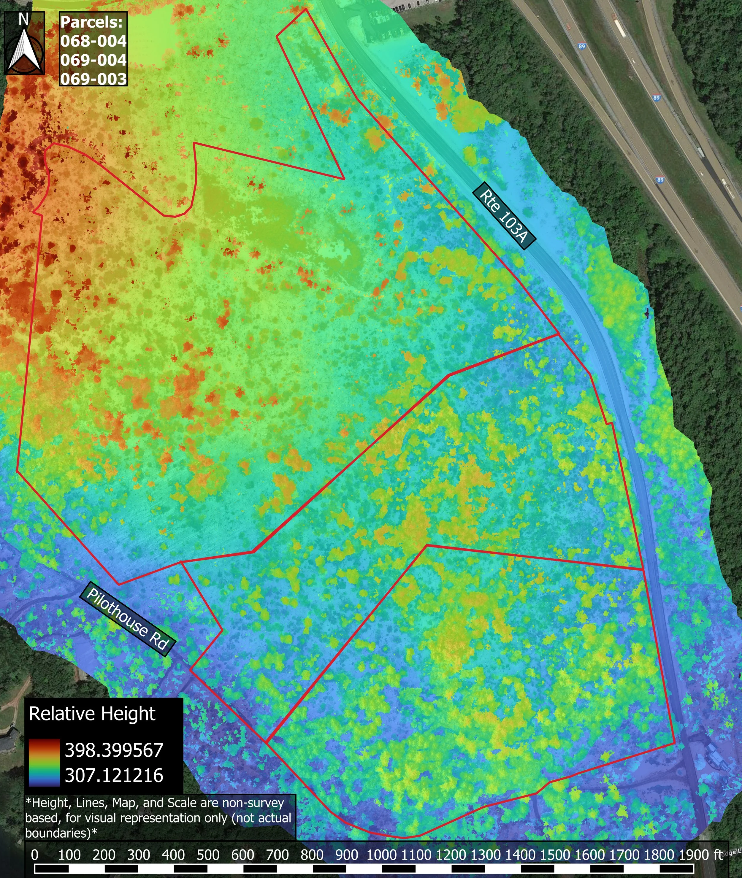
Non-Profit Land Research
Not actual measurements, non-survey visual representation only
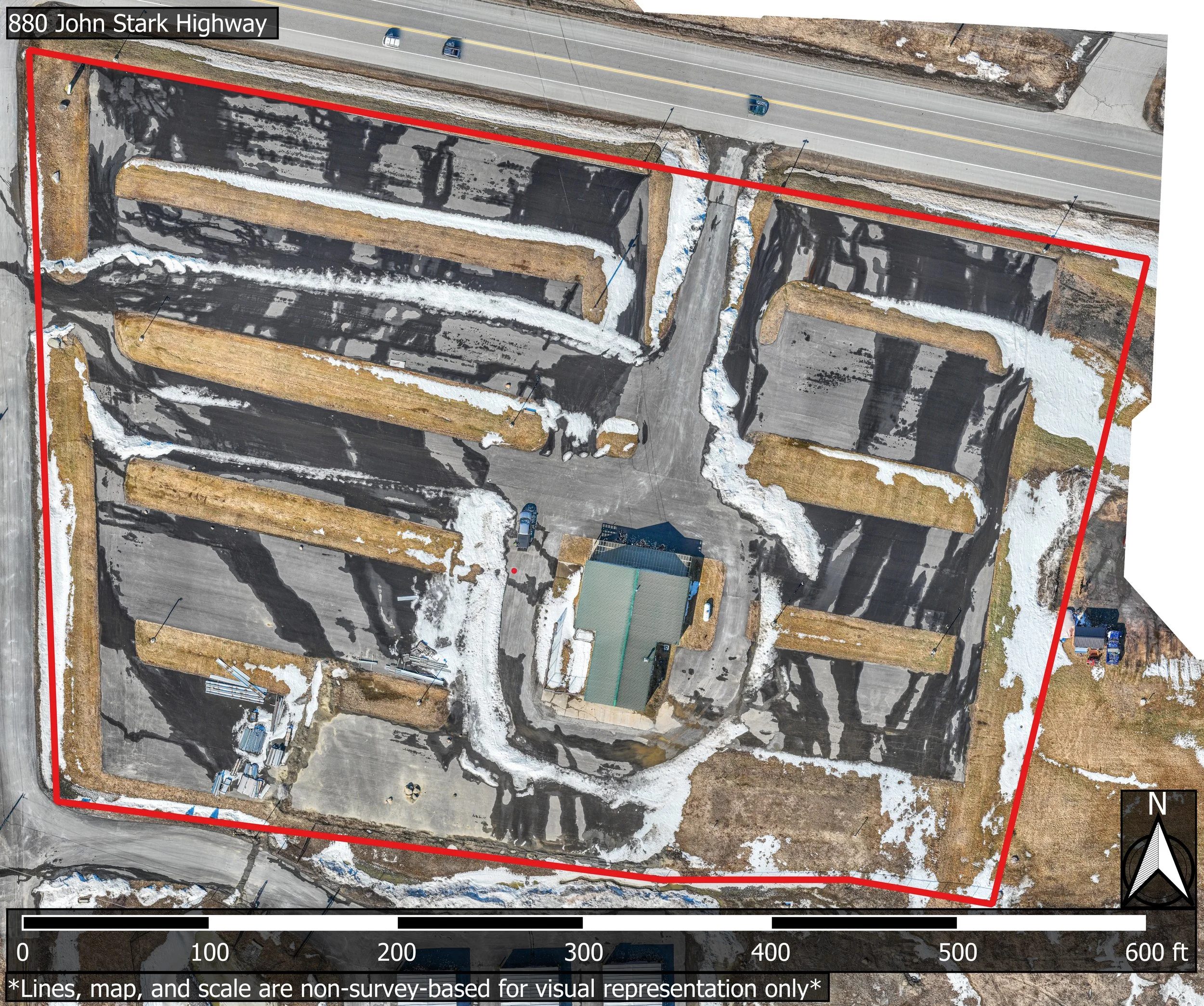
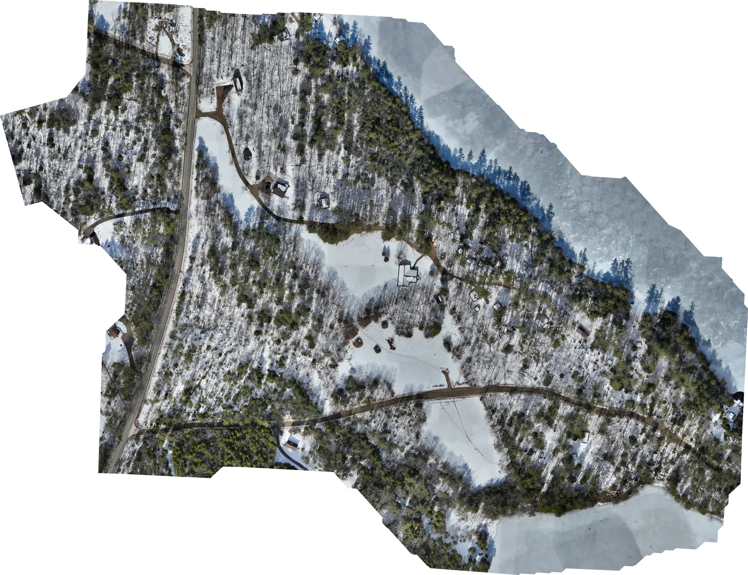
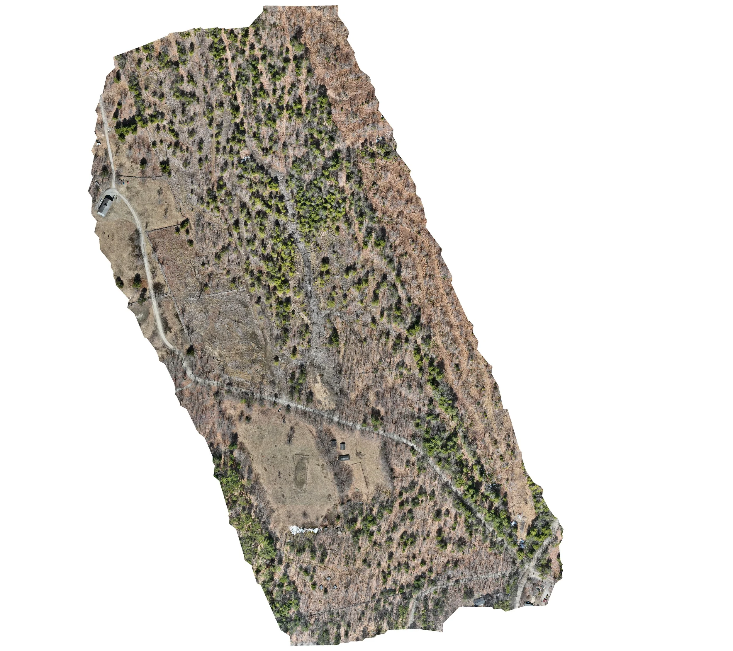
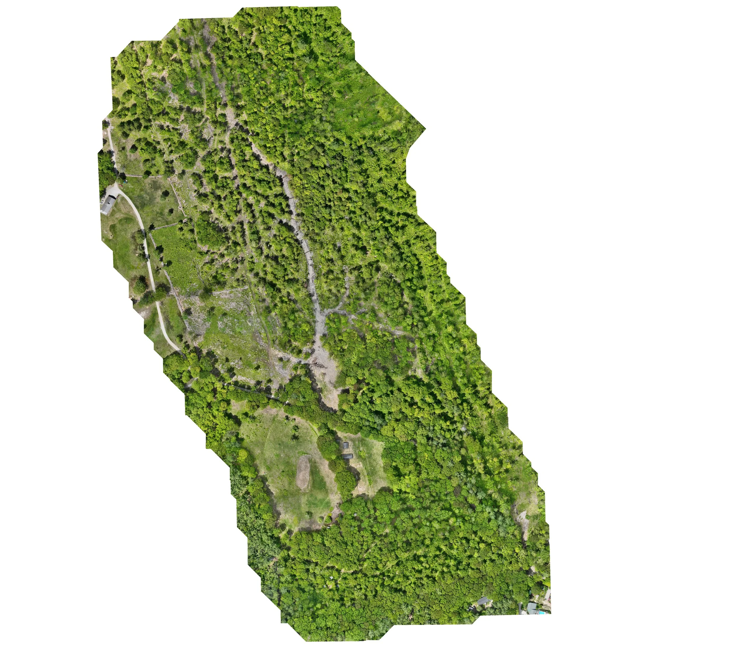
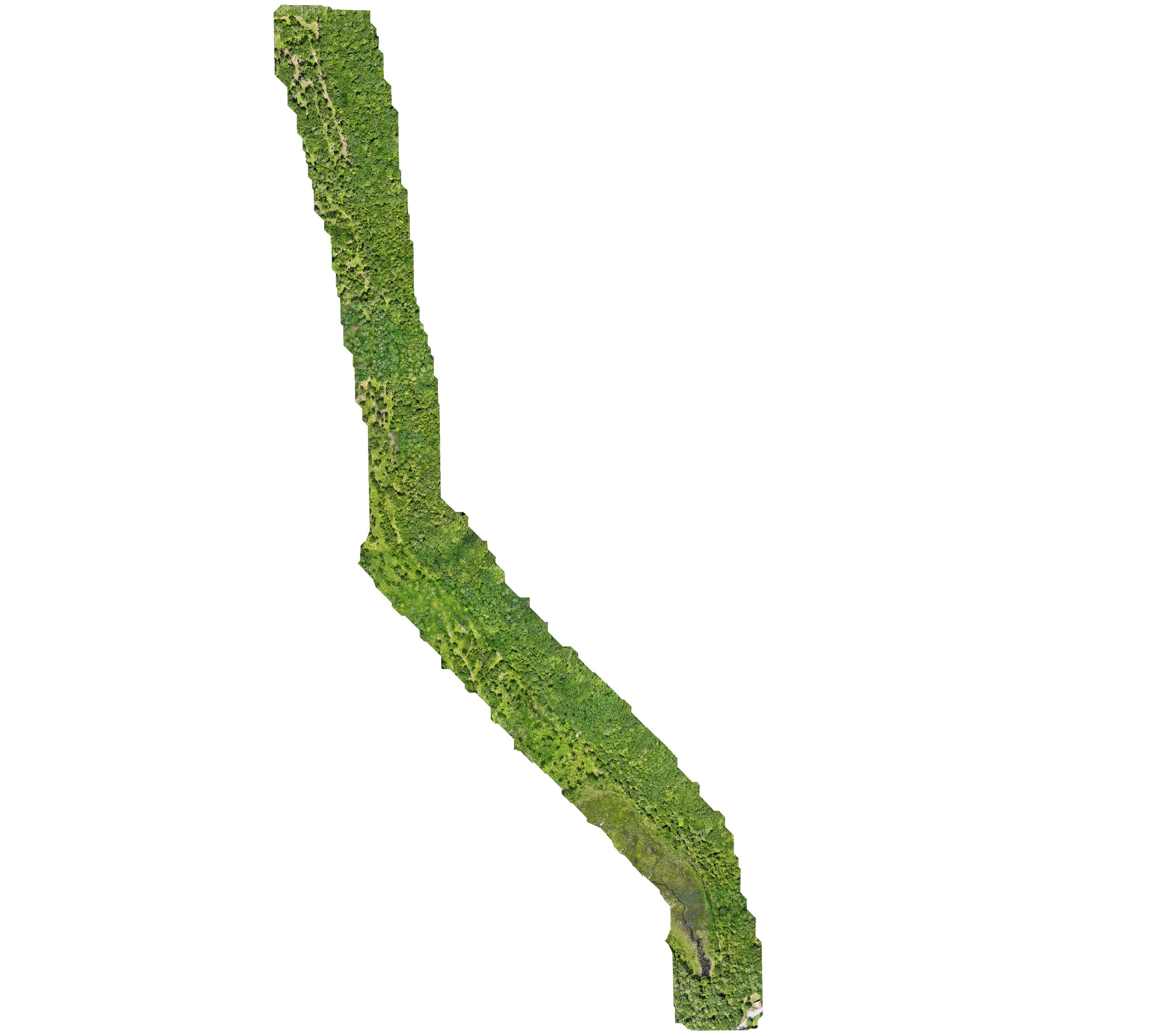
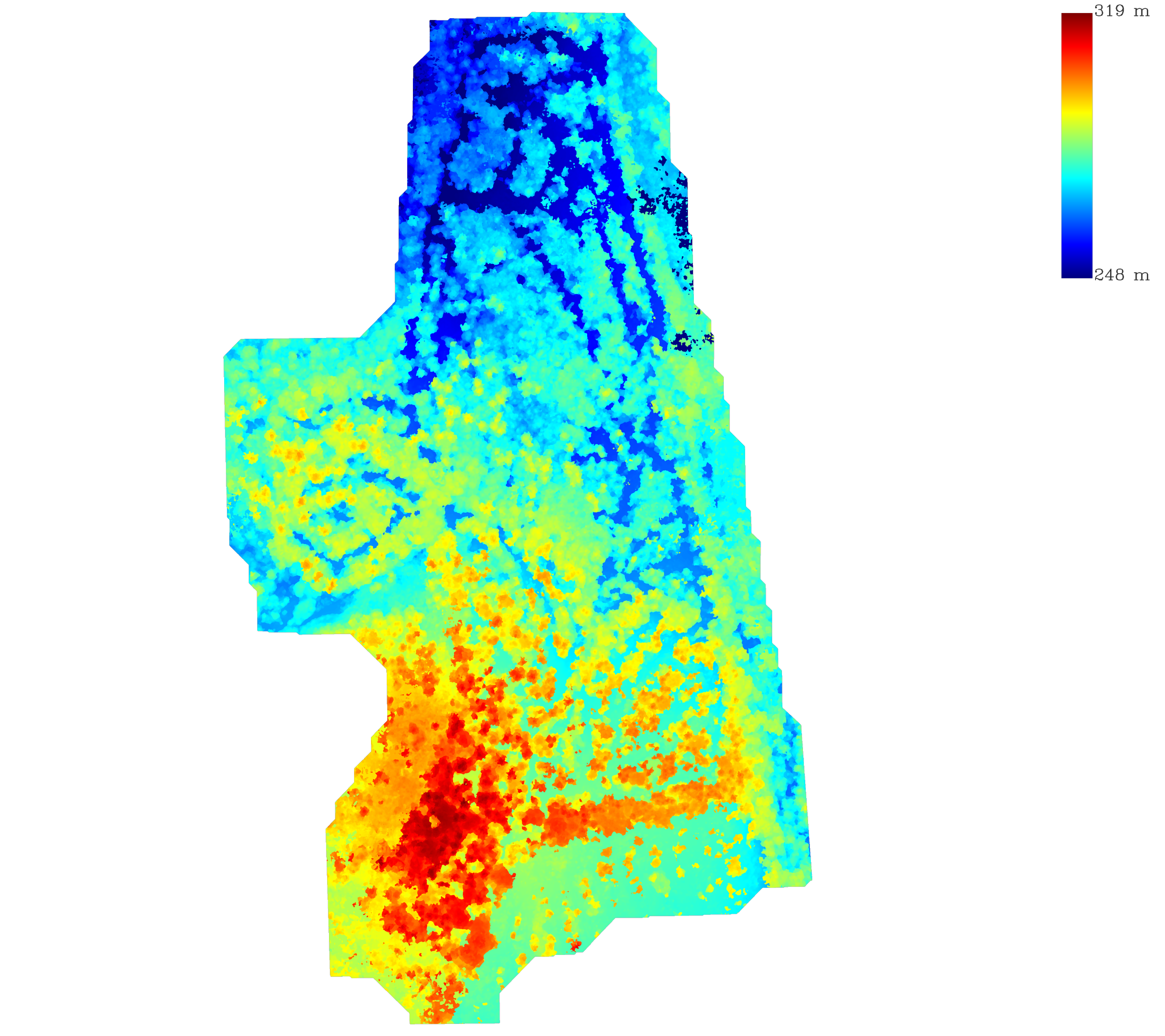
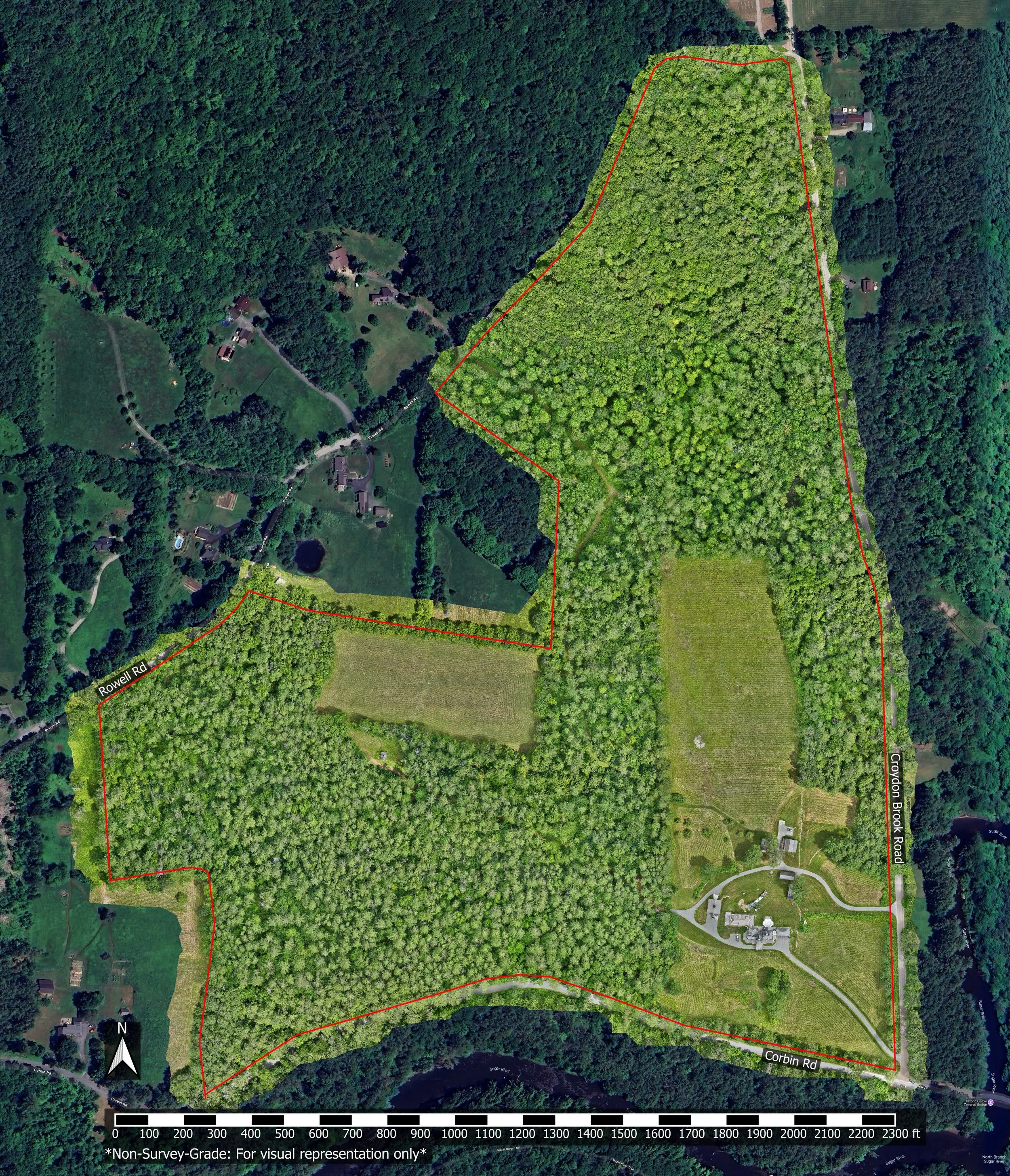
Historical Property Research
Not actual measurements, non-survey visual representation only
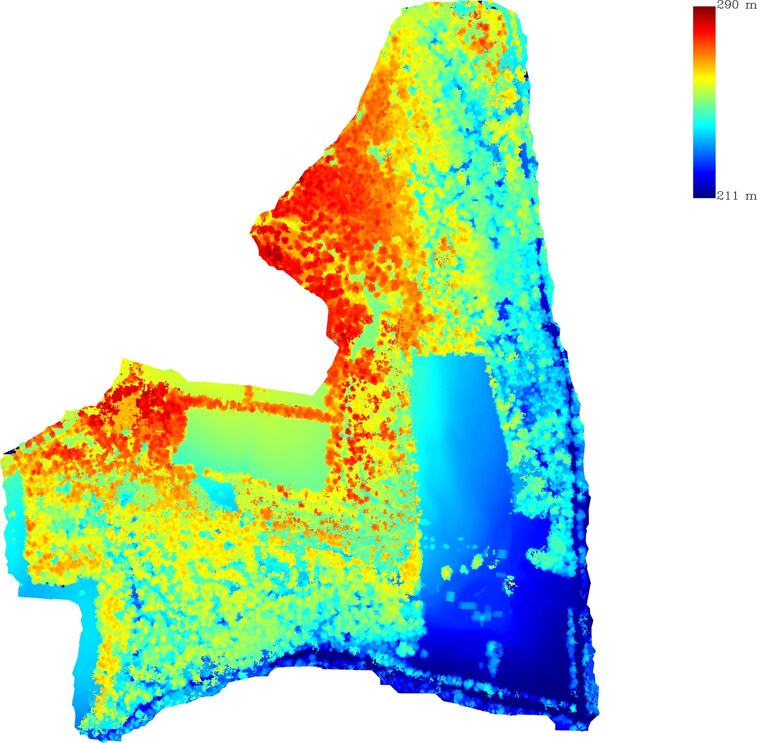
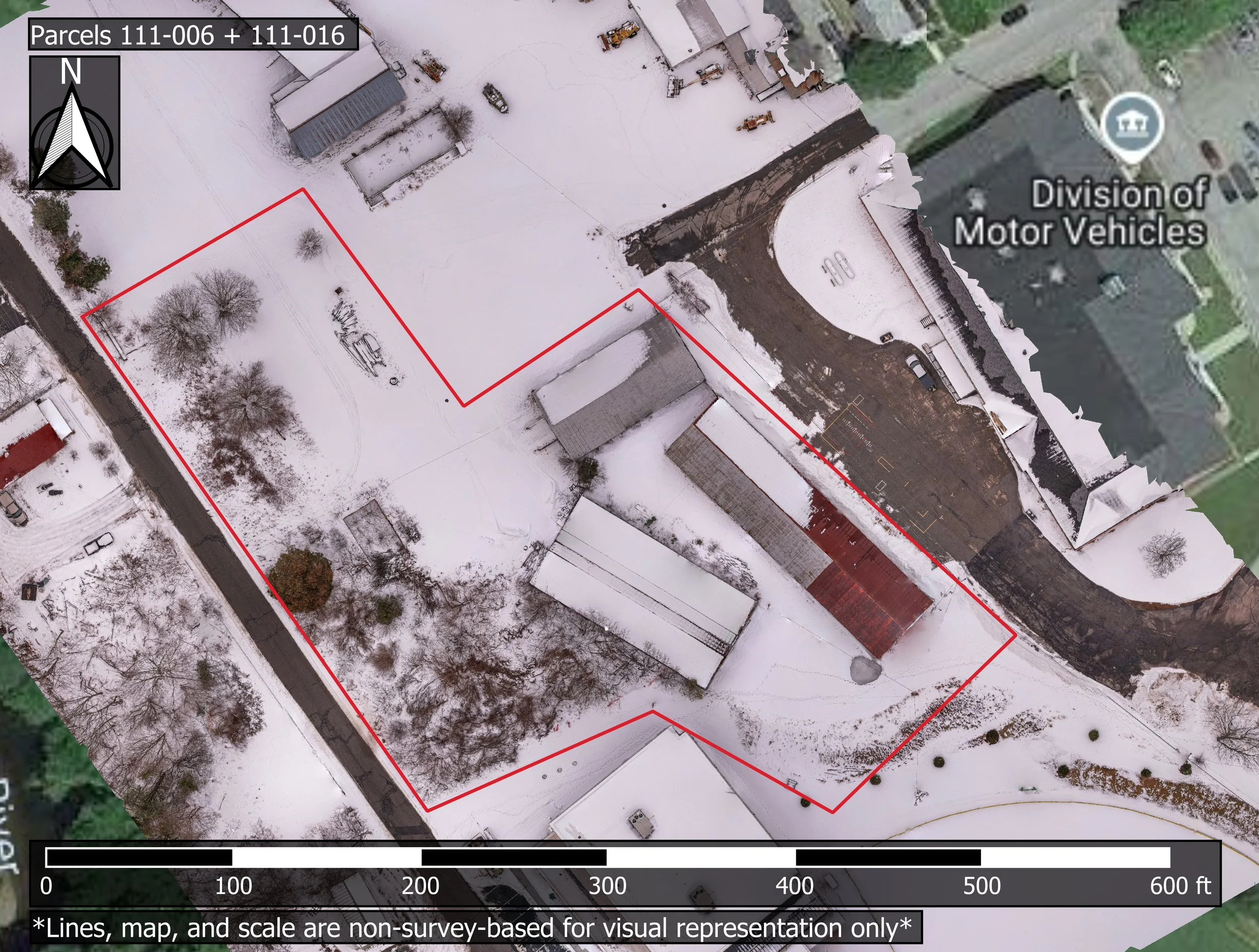
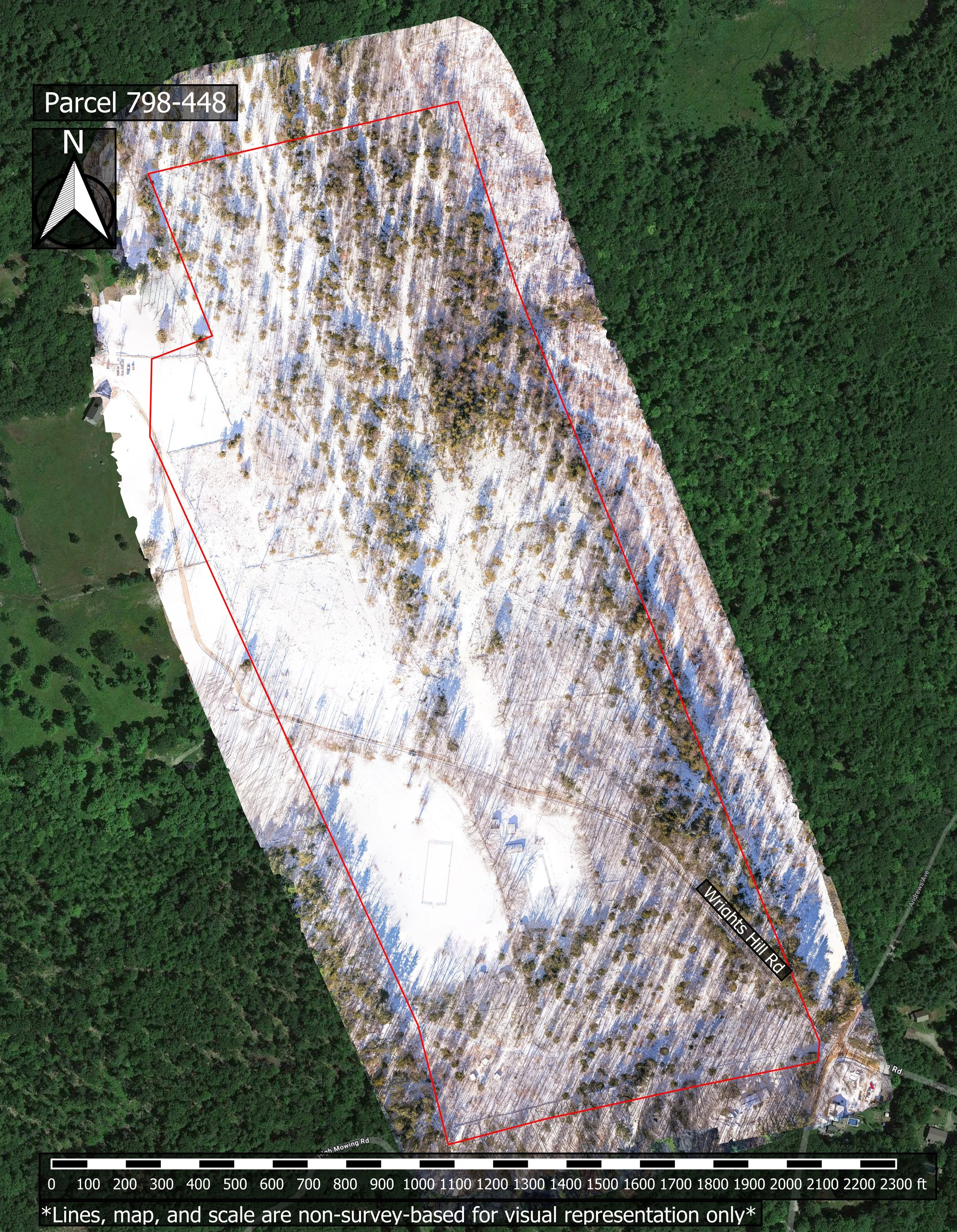
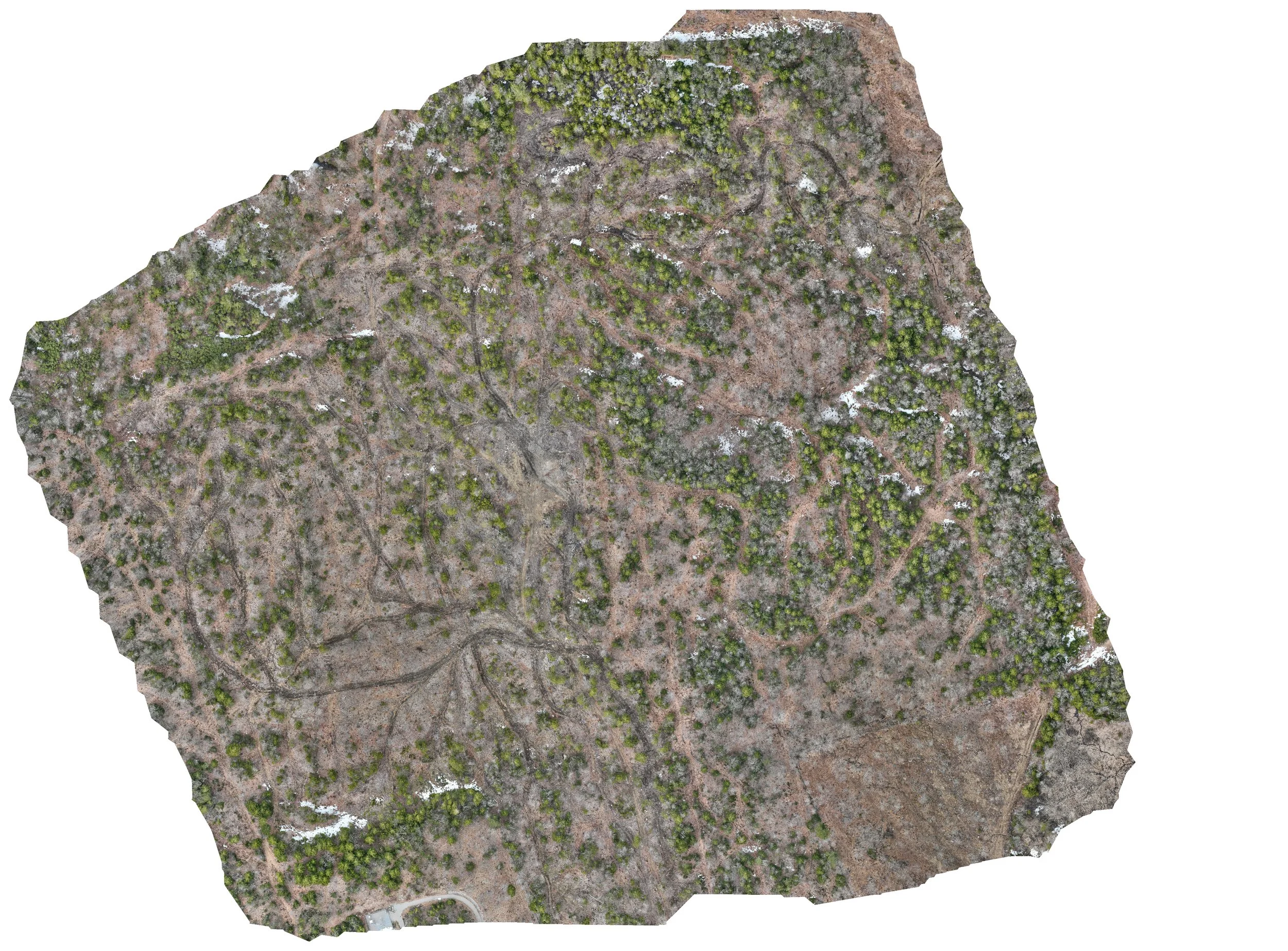
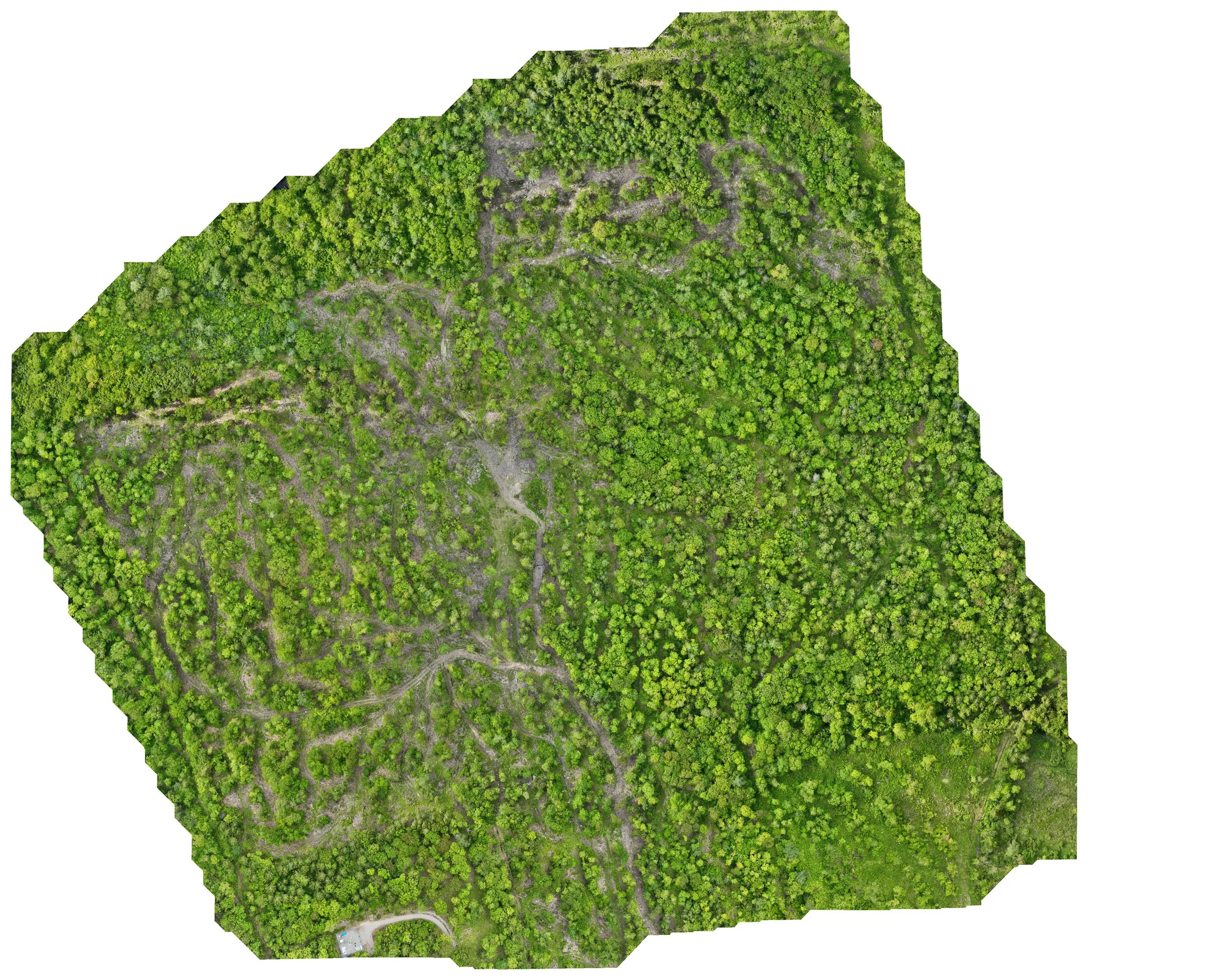
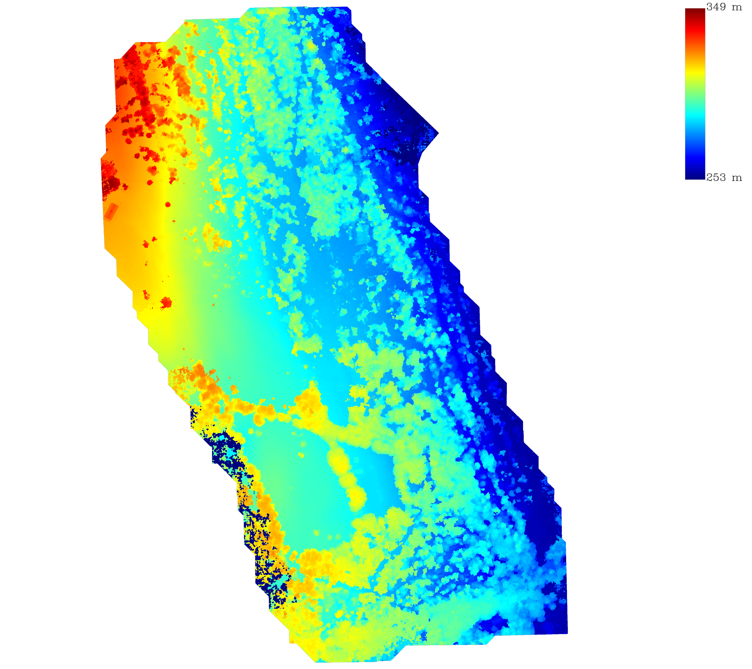
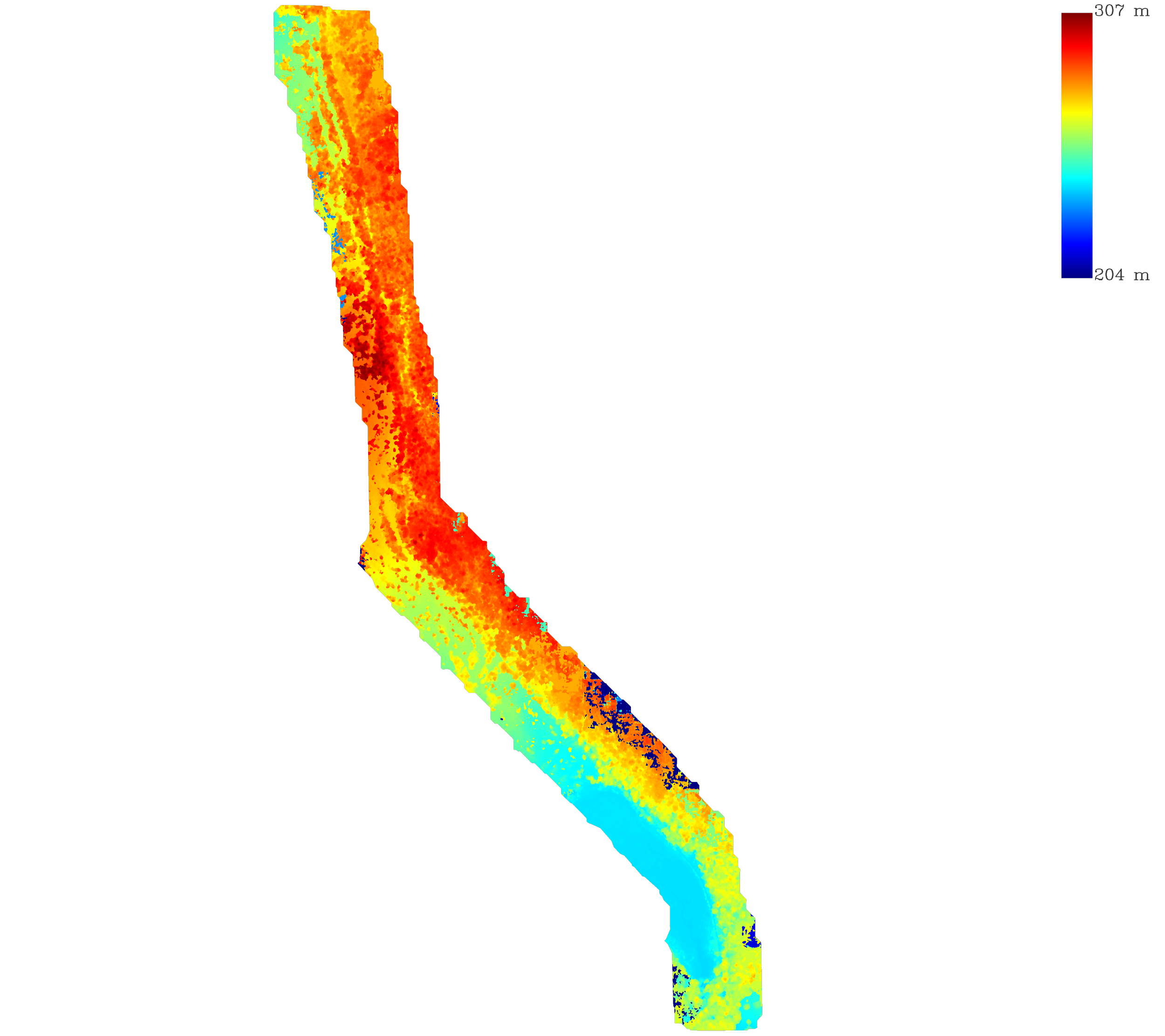
Commercial Property Research
Not actual measurements, non-survey visual representation only