About WarkMedia & Me
Turning real-world spaces into precise, visual, and measurable digital experiences.
Hi, I’m JT Warkentien, founder of WarkMedia, LLC. I specialize in Digital Reality Services – combining 3D scanning, drone mapping, and visual storytelling to help teams see, understand, and communicate their work with clarity.
Based out of Sunapee, New Hampshire, I work across New Hampshire and surrounding states, capturing everything from construction sites and environmental projects to properties, resorts, and infrastructure.
My Path to Digital Reality
I didn’t come into this work by accident.
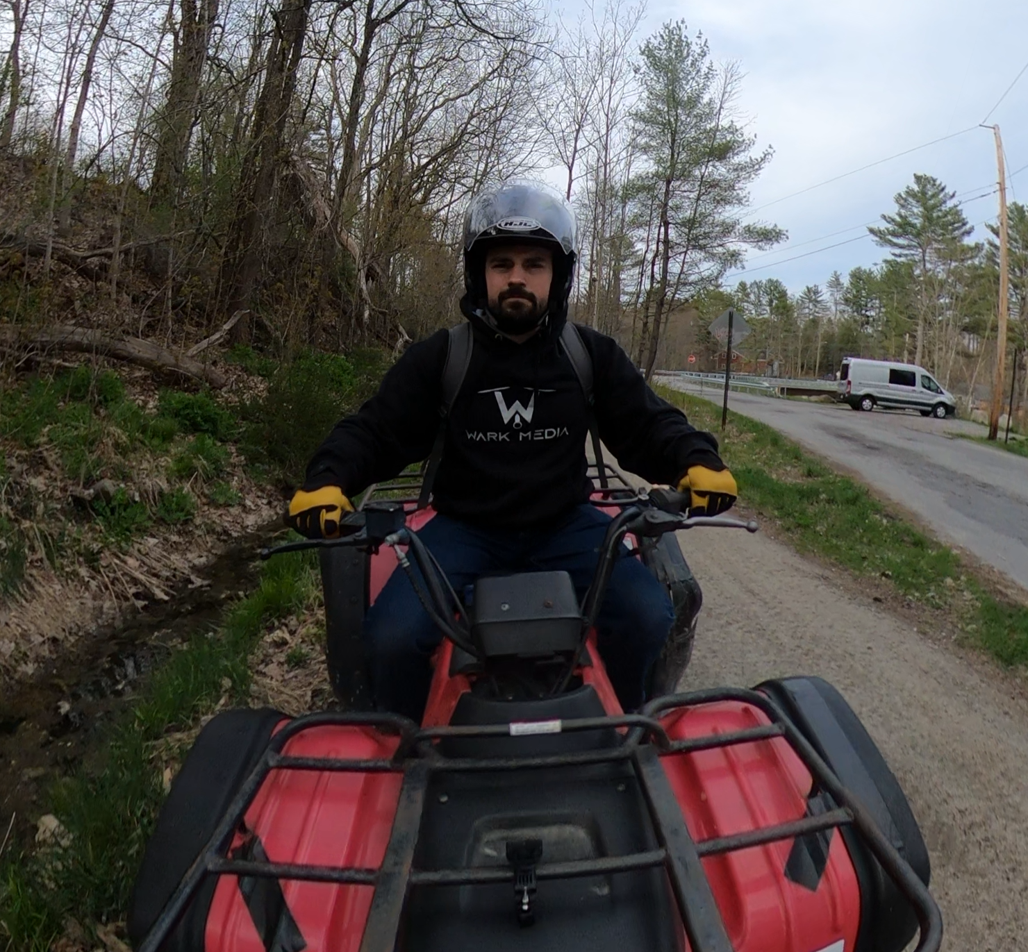
I’ve always been drawn to the mix of technology, problem-solving, and visual storytelling. Before launching WarkMedia, I spent years working deeply with data, systems, and workflows—experience that now helps me treat each project like a full digital pipeline, not just “photos and video.” Funny enough, this journey started with me strapping a GoPro to my ATV.
As drone technology, 3D scanning, and reality capture tools evolved, I saw a major gap:
Local businesses, contractors, and agencies needed accurate, visual, measurable data
But often had to outsource to distant providers or rely on rough photos and manual documentation.
WarkMedia was built to bridge that gap—bringing big-city capability to local and regional clients, with the flexibility and personal touch of a small, owner-operated studio.
How I Work
When you work with me, you’re not dealing with a rotating crew or a faceless vendor. It’s direct, one-on-one collaboration.
My approach is simple:
Listen & Scope
We talk through your site, goals, timelines, and how you plan to use the data—technical analysis, documentation, marketing, or all of the above.Plan & Capture
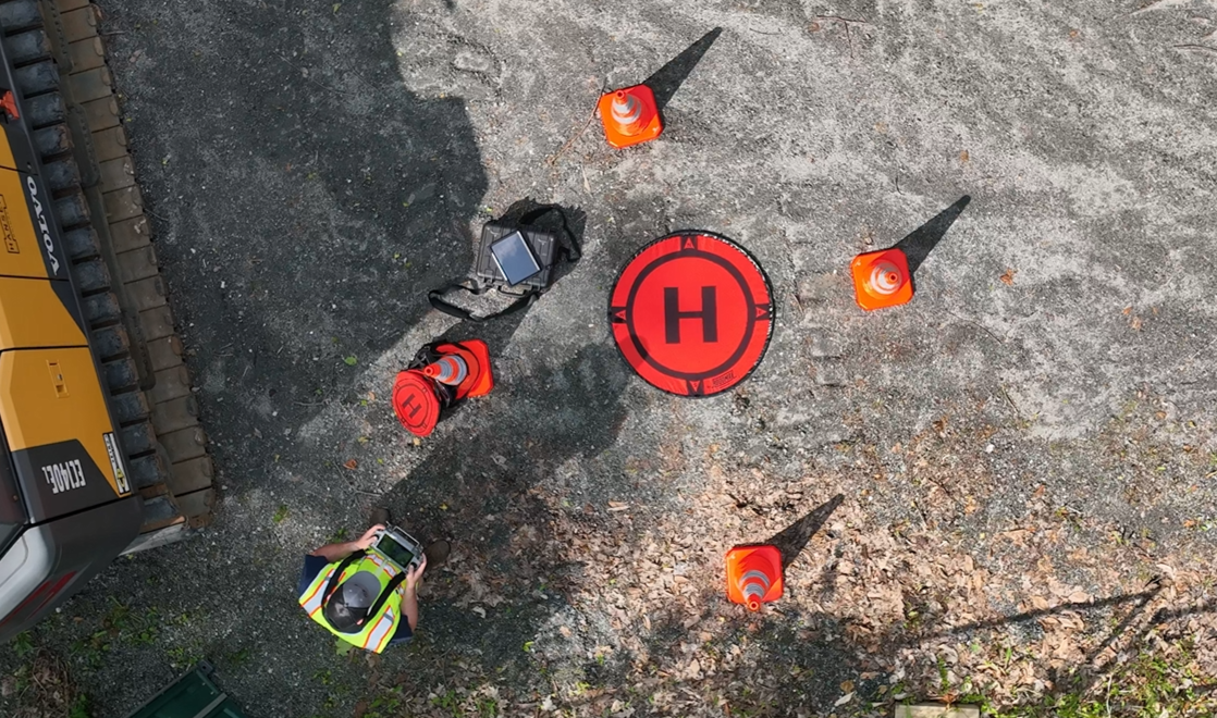
I handle flight planning, safety, logistics, and all on-site work, whether it’s aerial drone capture, ground-based imaging, or 3D scanning.Process & Build
Your data is processed using specialized software into clean, usable outputs: maps, models, scans, tours, videos, and images.Deliver & Support
You receive your files in formats that make sense for your team—whether that’s a project link, files for your engineers or architects, or media ready for your marketing team.
I’m big on clarity, expectation-setting, and communication. If something needs to be more precise, more visual, or more accessible for your team, we adjust.
Technical, Safety & Compliance
WarkMedia is built on professional, compliant operations:
FAA Part 107 Remote Pilot Certified
Fully insured for UAV and on-site operations
Registered New Hampshire business (WarkMedia, LLC)
Able to obtain LAANC / local airspace authorizations where required
On the technical side, I use a range of professional capture and processing tools for:
3D scanning
Drone mapping and modeling
Photogrammetry and reconstruction
Photo and video editing
Virtual tours and visual experiences
The goal isn’t just to “fly a drone” or “run a scanner”—it’s to deliver clean, reliable, decision-ready outputs.